“We are going to climb up there?”
Crystal Cascades
Hermit Lakes Shelter
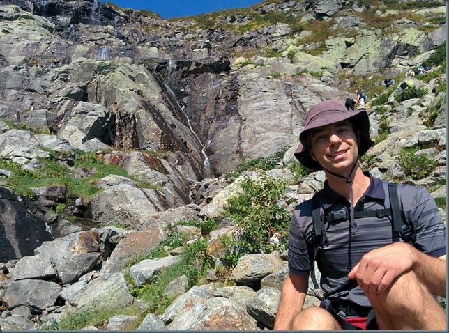
Beginning of the Tuckerman Ravine headwall. The trail continues right behind me. This is where the steep part of the hike begins.
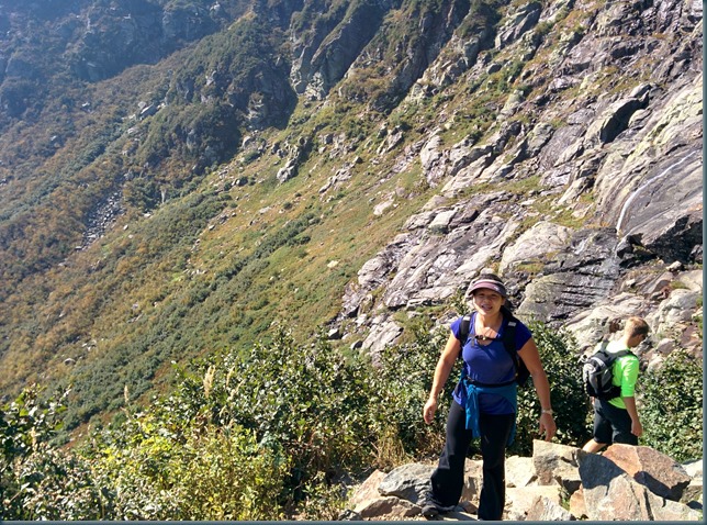
View from the Tuckerman Ravine headwall.
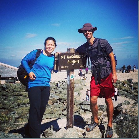
The ascent was fun, and took us 3 hours and 20 minutes. The top was annoyingly packed with people (with not just hikers, but folks who’d driven or taken the train up), but it was nice to be able to buy some lunch and check out the museum before heading back. A lot of the museum is devoted to the crazy weather and danger of the mountain, which was at first, a little bit difficult to relate to on a sunny summer day. The last video we watched talked about the “suddenness of the clouds”—how the clouds can just suddenly envelope the mountain. I then walked upstairs to take some pictures and fill up our water bottles from a drinking fountain outside. It was so windy that filling a bottle from the fountain was impossible, and clouds that had suddenly blown in took away any view (and so other than our picture with the sign, we didn’t get any other photos from the summit). I sort of started to panic, and wanted to leave immediately! So with our jackets and toques on, we headed back down. We took the Crawford to Davis, to Boott Spur route to avoid the crowds still climbing up the Tuckerman Ravine Trail.
View of Lakes of the Clouds and Hut
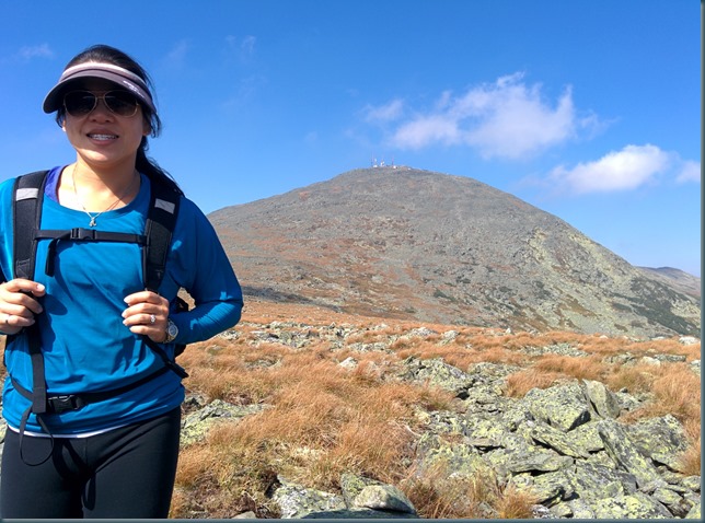
Mt. Washington summit cone
At the Boott Spur minor peak (I think)
Boott Spur trail
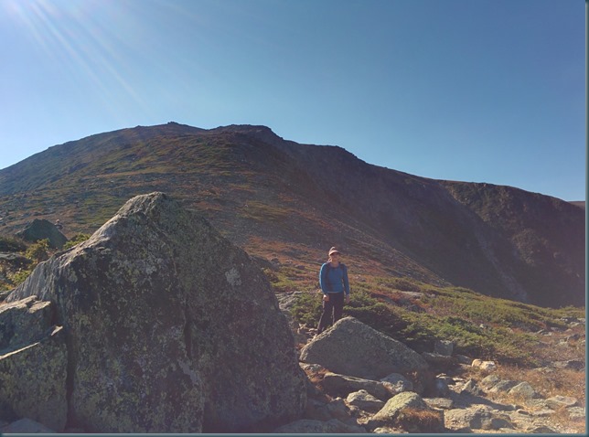
Looking back up at Boott Spur
Panoramic Photo of the view from the overlook that’s just past Split Rock on Boott Spur trail.
The rest of the hike was below the tree line. It took 4.5 hours for us to get down, which was much longer than anticipated, but thankfully we didn’t have to break out the headlamps. Boott Spur is a steep and rocky trail and we both wished we’d had proper footwear for the descent. Overall though, it was a spectacular and really fun hike.


